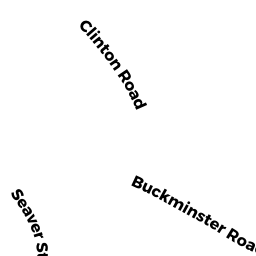
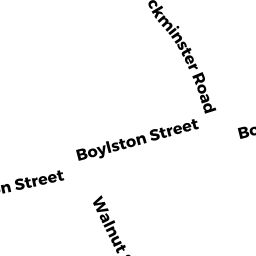
49 BUCKMINSTER RD
Owner Information
SHAKESPEARE TRS MATTHEW M
49 BUCKMINSTER RD
BROOKLINE, MA 02445


Property Details
49 BUCKMINSTER RD is classified as a Single Family Residential (Colonial).
The primary structure on this property was built in 1919. There is 3,156ft2 of residential/living space within this property. This property is listed as having 8 rooms. There are 2 units within this property.
49 BUCKMINSTER RD is valued at $2,239,300. The land is valued at $1,056,400 and the structures are valued at $1,182,900.
This property is in Zone S10. Confirm with local Zoning Board authorities to ensure there are no overlays or other easements on this property.
49 BUCKMINSTER RD was last sold on Tuesday, January 2, 2018 for $10.
Assessment data from fiscal year 2021.
Flood Data
According to the FEMA National Flood Hazard Layer, this property does not appear to be in a flood zone. It may also be in an area not yet reviewed. Nonetheless, confirm this information prior to taking any action.
To view the flood hazards around this property, create a FEMA "Firmette" Map of the area around 49 BUCKMINSTER RD.
Broadband Internet Providers
| Provider | Type | Bandwidth (mbps) | |
|---|---|---|---|
| RCN | Cable | 1000 | 20 |
| Viasat Inc | Satellite | 100 | 3 |
| Crown Castle Fiber | Fiber | 0 | 0 |
| Verizon New England Inc. | DSL | 10 | 1 |
| Comcast | Cable | 1000 | 35 |
| RCN | Cable | 500 | 20 |
| Starry, Inc. | Fixed Wireless | 200 | 200 |
| GCI Communication Corp. | Satellite | 0 | 0 |
| HughesNet | Satellite | 25 | 3 |
| VSAT Systems, LLC. | Satellite | 2 | 1 |
Broadband service provider data from December 2020.
Adjacent Properties
- 63 BUCKMINSTER RD
Single Family Residential owned by GREER EDWARD - 39 BUCKMINSTER RD
Single Family Residential owned by CHOI ET AL DERRICK - 116 CLARK RD
Single Family Residential owned by MAYFIELD, ET AL PHILIP - 110 CLARK RD
Single Family Residential owned by CHENG KA MING - 122 CLARK RD
Single Family Residential owned by DRUCKER ELIZABETH - 126 CLARK RD
Single Family Residential owned by MEYERS ALAN S